


CCS Project Portfolio
Hydrology and Hydraulics
-
![Costco Wholesale]()
Costco Wholesale
-
![]()
Seattle Public Utilities
-
![]()
Bellingham
-
![Government Canal Outlet Study]()
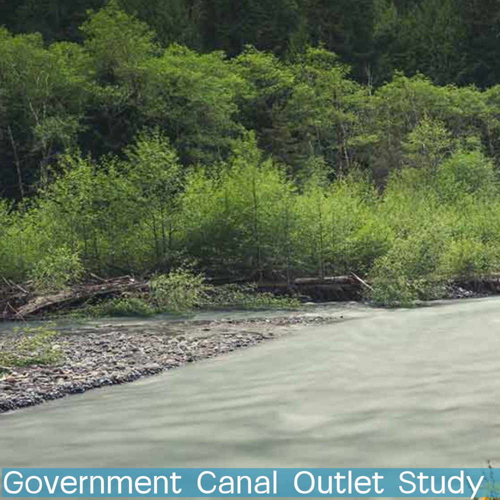
Government Canal Outlet Study
-
![]()
Hall Creek Hydrologic Analysis
-
![]()
Comfort Suites Hotel
-
![]()
Wenatchee Conveyance System
-
![]()
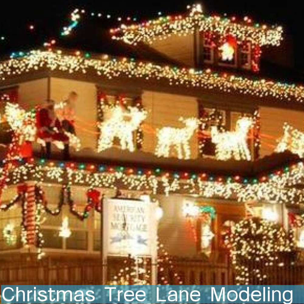
Christmas Tree Lane Modeling
-
![]()
Loves Travel Stop
-
![]()
Lake Stevens Outlet Study


Wetland Mitigation
-
![]()
Bethel High School
-
![]()
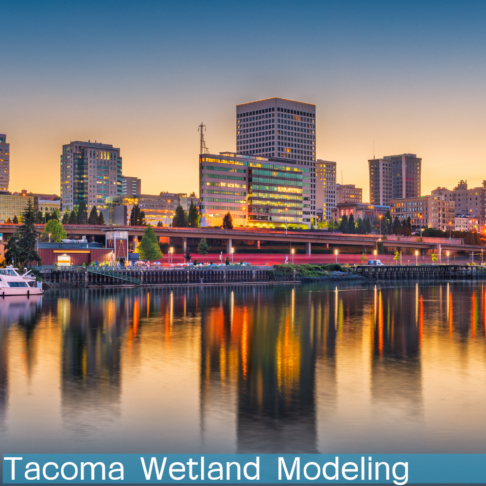
Tacoma Wetland Modeling
-
![]()
WSDOE Wetland Criteria
-
![]()
Thom Wetland Modeling


Watershed Calibration
-
![]()
McAleer Creek Drainage Basin
-
![]()
Yauger Park Drainage Basin
-
![]()
Hydrologic Conditions Index Study
-
![]()
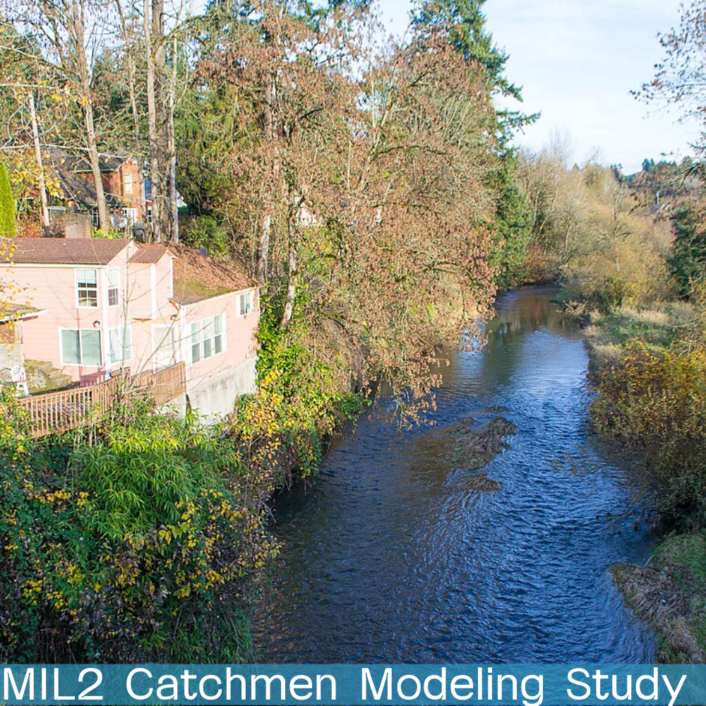
MIL2 Catchmen Modeling Study
-
![]()
Green Duwamish Basin


Mitigation and Modeling
-
![]()
Wenatchee Modeling (SWMM)
-
![]()
Hopkins Ditch Flooding
-
![]()
Salem Project
-
![]()
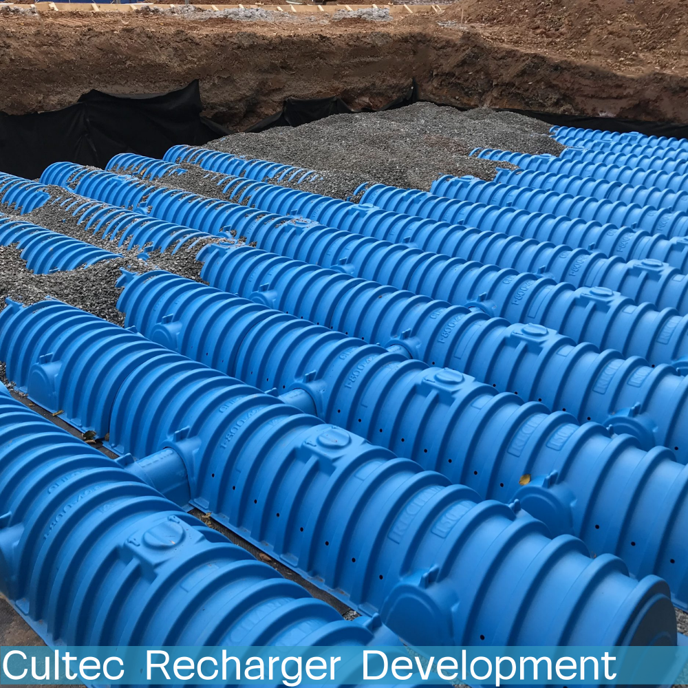
CULTEC Recharger 360 Element Addition
-
![]()
Grandis Pond Modeling
-
![]()
NDS Stormchamber Addition
-
![]()
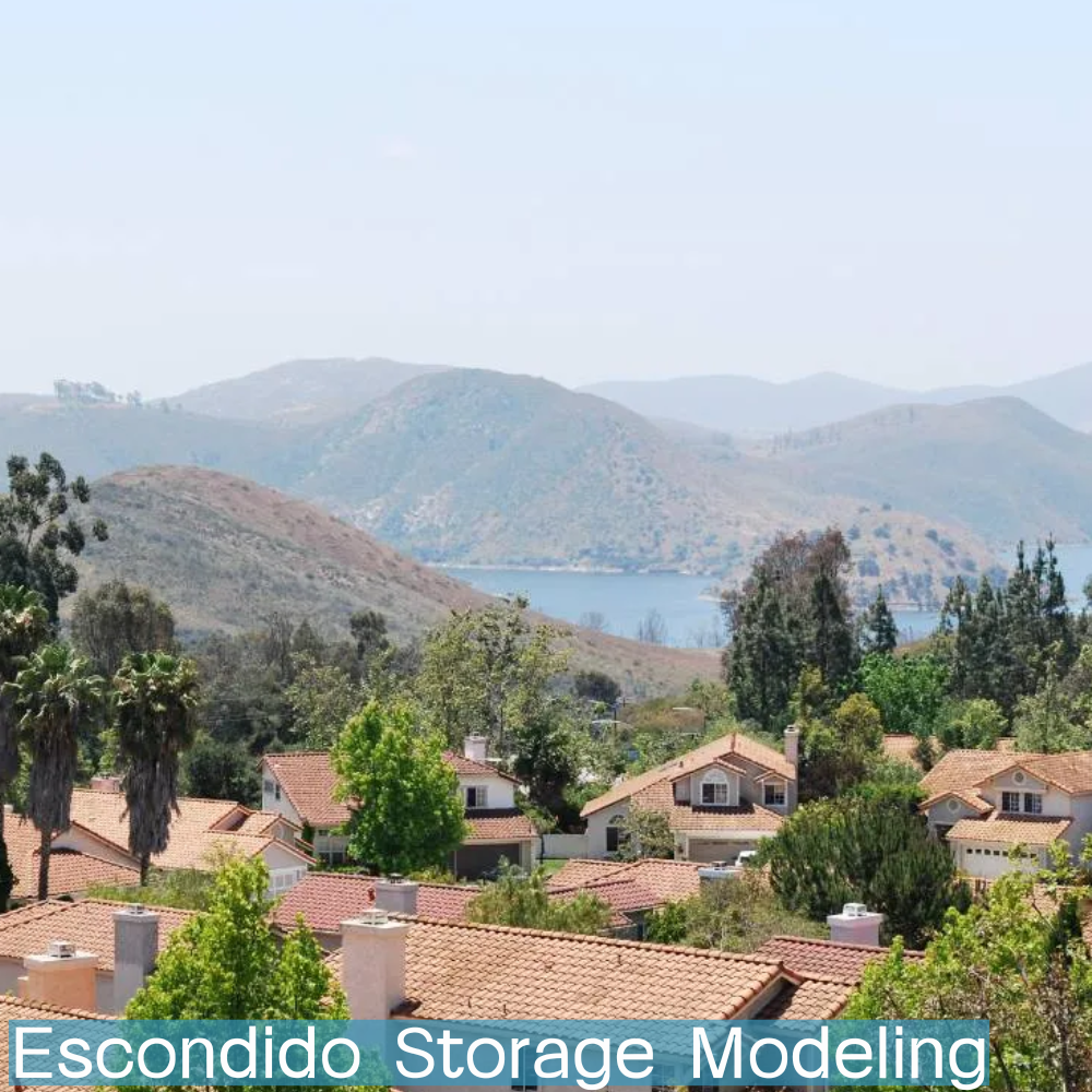
Escondido Storage Modeling
-
![]()
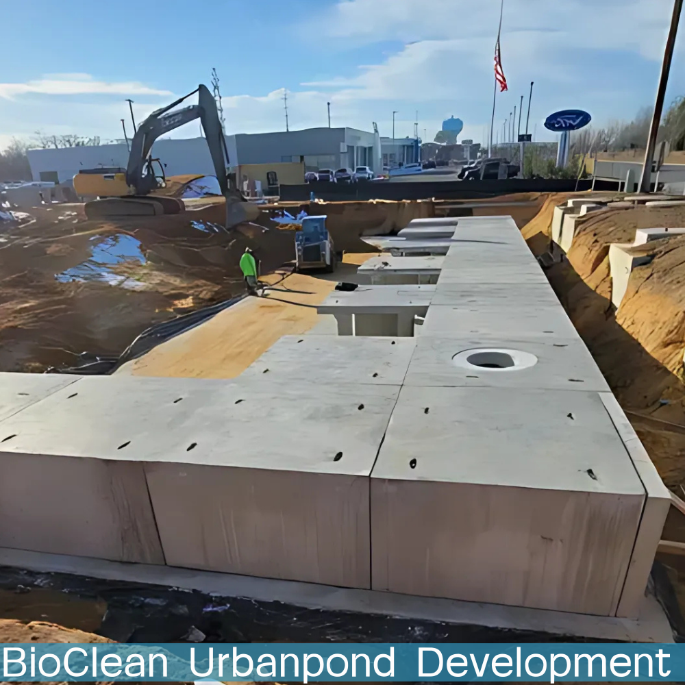
Bio Clean UrbanPond Element Addition


Software Development


Education, Media, and Presentations
-
![]()
Bioretention Performance Study (SAM)
-
![]()
Bioretention and LID Effectiveness
-
![]()
Grand Unification of Stormwater Design
-
![]()
Research and WWHM Reliability
-
![]()
CCS Named Leading Software Developer


Contact us.
Support: Support@clearcreeksolutions.com
Joseph T. Brascher Sr.: Brascher@clearcreeksolutions.com
Douglas Beyerlein P.E.: Beyerlein@clearcreeksolutions.com
Joseph Brascher Jr. EIT.: BrascherJr@ClearCreekSolutions.com
Clear Creek Solutions, Inc.
6200 Capitol Blvd. Ste. F
Olympia, WA 98501
360-943-0304
Clear Creek Solutions, Inc.
15800 Village Green Drive #3
Mill Creek, WA 98012
425-225-5997